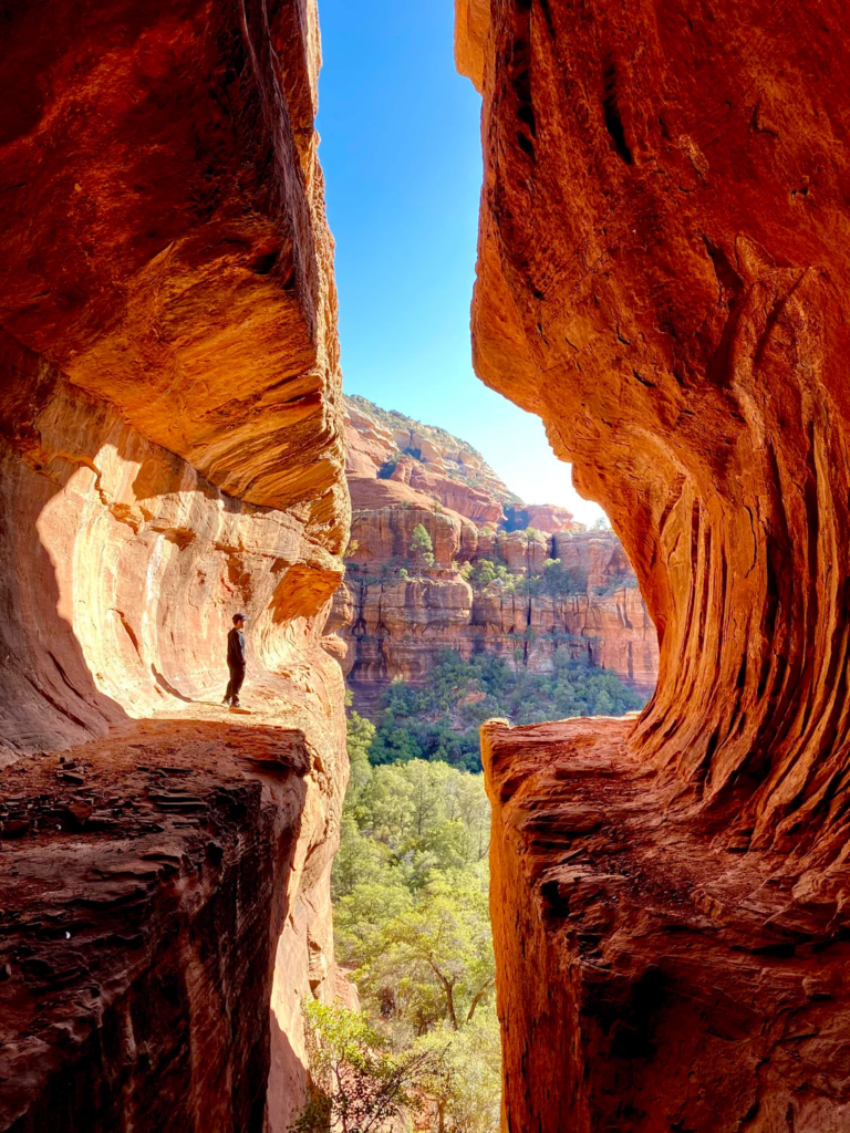
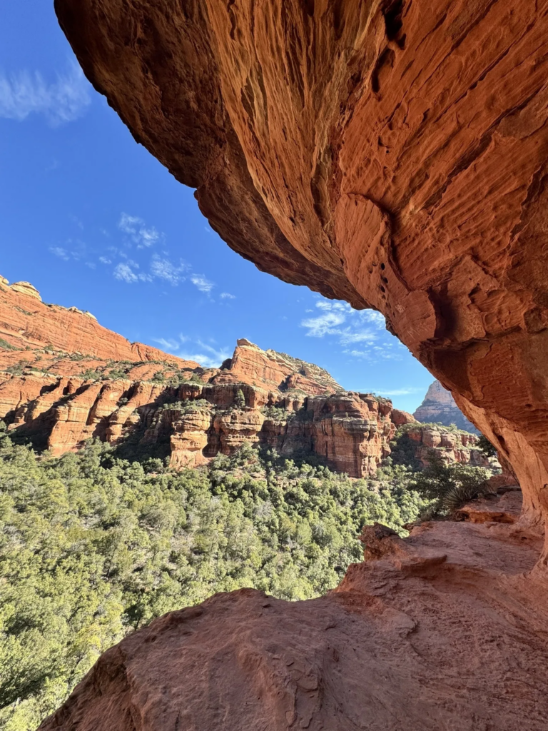
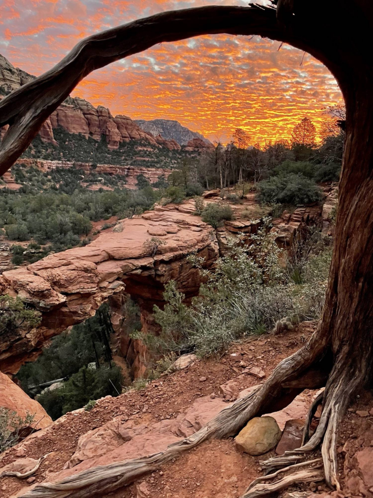
Hiking in Sedona is simply unbeatable. We went to Sedona earlier this year, and let me tell you the hikes are so incredibly fun and stunning. If you are looking for the best hikes in Sedona that showcase amazing red rock formations and stunning canyons then you are in the right place. Here is a list of the best hikes in Sedona that you are going to love.
Disclosure: This post contains affiliate links. If you click one of them, I may receive a small commission (for which I am very grateful for) at no extra cost to you.
What To Pack For Hiking Sedona Trails
- Sunscreen: Sedona can get very HOT! Even in the winter, the sun is super strong and you wil definitely want to wear sunscreen > Buy Sunscreen
- Water Bottle: to stay hydrated ->> Check out this water bottle
- Hiking Boots/Shoes: hiking boots are needed for those rocky hikes >Check Out My Hiking Shoes, Mens version
- Hiking Sandals: hiking sandals are great for those hikes where there are creeks, and waterfalls >Buy Some Teva Sandals Here
- Hiking socks: Having the correct socks helps you prevent getting blisters. Smart Wool is probably my favorite brand out there >Buy Hiking Socks
- Snacks: think jerky, nuts and bars >>>Check Out These Snacks
- Day Pack: to carry all your things: To comfortably carry all your essentials on your adventure, invest in a high-quality backpack. Osprey is renowned for producing some of the best backpacks on the market.. ->>Buy This Great Quality Backpack
- Sun Hat: Bring a hat to protect your face and neck from the sun. Its HOT – >> Super Cute Women’s Sun Hat
- Sunglasses: It can get sunny so make sure to pack some sunglasses. –>Check Out These Sunglasses
- Chapstick: This one has SPF so your lips won’t get burned! –>Check Out This Chapstick
- Water Reservoir: for longer trail, a water reservoir is essential to make sure you dont run out of water. > Buy Water Reservoir Here
- Lightweight Hiking Pants: I usually wear lightweight hiking pants to wick all that sweat away >>>Click For My Favorite Hiking Pant
Related Reads: 11 Sedona Hiking Essentials
Related Reads: 13 Unbeatable Hikes in Sedona
Red Rocks Pass
Most of the trails in Sedona require a Red Rock Pass. They offer Day, Monthly, or Yearly passes depending on your stay. The Red Rock Pass costs $5 USD per day or $15 USD for one week and can be purchased at the visitor centre and/or some trailheads.
If you often visit National Parks and National Forests, invest in the $80 yearly America the Beautiful Pass, which gets you into National Forest Fee Areas like this. Click here for more information about the Red Rocks Pass program.
IMPORTANT: Many of these trails have designated parking areas, but they fill up quickly. Some of the most popular trailheads like Devil’s Bridge and Soldier Pass have very limited space. This means you either have to arrive before they fill up, find alternative parking nearby or utilize shuttle services. You will definitely have to plan ahead, if you want to be able to get good parking, because the trail parking lots are pretty small, with very high demand!
Insider tip: There’s a free shuttle system in Sedona, which runs Thursday through Sunday year-round, which heads to certain trailheads. The shuttle, typically runs from 7 AM to around 5 PM. You can find out more information about the shuttle service, including its schedule, here.
Best Hikes in Sedona
Boynton Canyon Trail


| Distance: 6.5 miles | Time: 3 hours | Elevation: 918ft | |||
| Route Type: Out & Back | Difficulty: Moderate | Rating: 🌟4.7 | |||
| Highlights: Subway Cave ✅ vortex sight ✅ beautiful canyon views ✅ stunning fall colors✅ forested canyon✅ bathrooms ✅ | |||||
| Parking Fee: There’s a $12 per vehicle day use fee, unless you have a Red Rock Pass. | |||||
This hike is perfect if you’re looking for an EASY TO MODERATE hike with CAVE VIEWS. I don’t think I have ever done a hike like this before. It has an awesome terrain mix (rocky, sand, forest trail, and some climbing/scrambling if you want).
There’s also a vortex location to check out too. We took 6 hours to go through everything because of how incredible the experience was but we only spent 3 hours actively walking. I recommend bringing warm clothes but shorts and a t- shirt underneath as the first part of the trail is sunny and hot but toward the end the temperature drops significantly in the trees.
Pro Tip: 7am, 12pm, and 4pm are good times to be able to potentially secure a parking spot in a lot of the trails.
Devil’s Bridge Trail

| Distance: 3.9 miles | Time: 2 hours | Elevation: 521ft | |||
| Route Type: Out & Back | Difficulty: Moderate | Rating: 🌟4.7 | |||
| Highlights: stunning red rock bridge formation ✅ desert skyline✅ pretty sunrise/sunset photo ops✅ bathrooms ✅ | |||||
| Parking: Free shuttle service or pay to park at trailheads Trail Guide: Link | |||||
The Devils Bridge Trail is a moderately challenging hike leads you to a natural sandstone arch perched precariously over a canyon. The views are stunning, but be prepared for crowds, especially during peak season. The bridge part looks straight out of a painting, and it gets crowded with people taking turns for photos. To get a photo on the bridge, there can be a line to wait in.
Broken Arrow Trail
| Distance: 2.9 miles | Time: 1.5 hours | Elevation: 396 ft | |||
| Route Type: Out & Back | Difficulty: Moderate | Rating: 🌟4.8 | |||
| Highlights: Well marked ✅ breathtaking vistas✅ pretty sunrise/sunset photo ops✅ | |||||
| Parking : There’s a $12 per vehicle day use fee, unless you have a Grand Annual Red Rock Pass. America the Beautiful and the daily or weekly Red Rock Passes are not accepted. Trail Guide: Link |
The Broken Arrow Trail is a challenging off-road trail with steep climbs, rocky terrain, and narrow switchbacks. You may see a lot of jeeps and mountain bikers as they often do tours. This trial has one of the best panoramic views of the red canyons. It is also the perfect trail to stargaze. You need a Red Rocks Pass (there is no fee station at the site) or an America the Beautiful Pass to get in and there are no restrooms at the trailhead.
West Fork Creek Trail
| Distance: 6.5 miles | Time: 3-4 hours | Elevation: 564ft | |||
| Route Type: Out & Back | Difficulty: Moderate | Rating: 🌟4.8 | |||
| Highlights: Semi-shaded by trees and canyons ✅ 13 separate stream crossings ✅ towering canyon walls✅ Great summer trail✅ | |||||
| Parking: There’s a $12 per vehicle day use fee, unless you have a Grand Annual Red Rock Pass or America the Beautiful pass. Trail Guide: Link | |||||
The West Fork Trail in Sedona is a bit of a tease. While the initial part is beautiful, the real magic happens at the end. The slot canyon section is absolutely breathtaking, and it’s easy to see why it’s often compared to the Narrows in Zion. It is definitely worth doing but make sure to wear proper footwear. Between the 13 water crossings and the optional wading down the slot canyon at the end, I’d HIGHLY recommend wearing hiking sandals that can double as water shoes. I have an obsession with my Tevas, this is my pair.
Courthouse Butte and Bell Rock
Bell Rock Trail is a fantastic hike to experience the fantastic views of Sedona with little effort and elevation. There aren’t tons of people beyond the viewpoints, but still so much to see. It is also dog friendly. Make sure to have your map downloaded to a phone with a battery because there are lots of trail intersections. There is a lot of parking but parking can get really full, so keep that in mind.
| Distance: 3.9 miles | Time: 1.5 hours | Elevation: 357ft | |||
| Route Type: Loop | Difficulty: Moderate | Rating: 🌟4.8 | |||
| Highlights: allegedly one of the strongest energy vortexes in Sedona ✅ mostly flat loop ✅ perfect for all seasons✅ | |||||
| Parking Fee: You’ll need a Red Rock Pass, you can purchase it here or at a variety of stores around Sedona. an America the Beautiful Pass also works, which covers all of the areas in Sedona that require a Red Rock Pass (which you can see here) Trail Guide: Link | |||||
Cathedral Rock Trail
| Distance: 1.2 miles | Time: 1 hour | Elevation: 741ft | |||
| Route Type: Out & Back | Difficulty: hard | Rating: 🌟4.8 | |||
| Highlights: Challenging Scramble ✅ Breathtaking views ✅ unique energy vortex✅ | |||||
| Parking Fee: Free shuttle service or Red Rocks Pass Trail Guide: Link | |||||
The Cathedral Rock Trail is a HARD trail takes you right up to the base of Cathedral Rock Don’t let the mileage fool you. This trail is difficult. It is steep!
It’s a bit of a rock scramble to get to the top. It is recommended that you wear proper footwear and pack your belongings to allow your hands to be free when scrambling and maintaining 3 points of contact.The views from the top are panoramic and unforgettable, and you’ll likely encounter fellow vortex seekers. We saw lots of people meditating on the trail. Pack some snacks to enjoy for when you reach the top. For those seeking a slightly easier experience, there are several vantage points along the trail that offer stunning views without the need to reach the summit
Soldier Pass Trail
| Distance: 4.9miles | Time: 2-3 hours | Elevation: 823ft | |||
| Route Type: Out & Back | Difficulty: Moderate | Rating: 🌟4.8 | |||
| Highlights: Massive sinkhole ✅ 7 sacred pools✅ Caves✅ | |||||
| Parking Fee: Free shuttle service Trail Guide: Link | |||||
I remember doing the Soldier Pass Trail on a weekday at Went on a Thursday at 7am and parked at the Posse Grounds Park to take the free shuttle. Definitely recommend taking the shuttle as there is more parking and it’s free! The trail itself was absolutely gorgeous! You get to see so much of the red mountains all while traveling through the forest.
Wilson Canyon Trail
| Distance: 2.6 miles | Time: 1hr | Elevation: 344ft | |||
| Route Type: Out & Back | Difficulty: Moderate | Rating: 🌟4.6 | |||
| Highlights: Panoramic views ✅ Scenic bridge ✅ Not too crowded✅ Perfect for families ✅ Plentiful Shade✅ | |||||
| Parking Fee: Red Rocks Pass Trail Guide: Link | |||||
The Wilson Canyon Trail is a hidden gem among Sedonians. Hikers are rewarded with breathtaking vistas of Sedona’s famous red rocks and canyon. From some spots, you can get a 360-degree vista, which includes views of Wilson Mountain’s lava-covered summit.
The plentiful shade makes this an ideal warm-weather hike. It’s also a chance to get away and truly immerse yourself in nature. We heard woodpeckers and buzzing bees on our hike and little else.
The trail ends at an “end of trail” sign, but there is a side trail that takes you pretty much straight up to a fantastic view. This part is not for everyone but if you’re able, I recommend adding this to your hike. You are rewarded with a beautiful view back over the valley you just hiked through. Without this view the trail would be kind of boring.
Mescal Mountain Trail
| Distance: 5.9 miles | Time: 2.5 hr | Elevation: 515 ft | |||
| Route Type: Out & Back | Difficulty: Moderate | Rating: 🌟4.7 | |||
| Highlights: Pass through Boynton Pass Vortex ✅ Tremendous views ✅ Several waterfalls ✅ Stream crossings ✅ | |||||
| Parking Fee: Red Rocks Pass Trail Guide: Link | |||||
The Mescal Mountain Trail has incredible views While the terrain is challenging, it is super rewarding. The sweeping views of rock formations, mountains, mesa, and desert make this trail so worth it. Bring proper footwear and rain gear as there are creeks and waterfalls you may need to cross depending on the time that you go.

